




 Sacred Mountain Trail


Sacred Mountain Trail
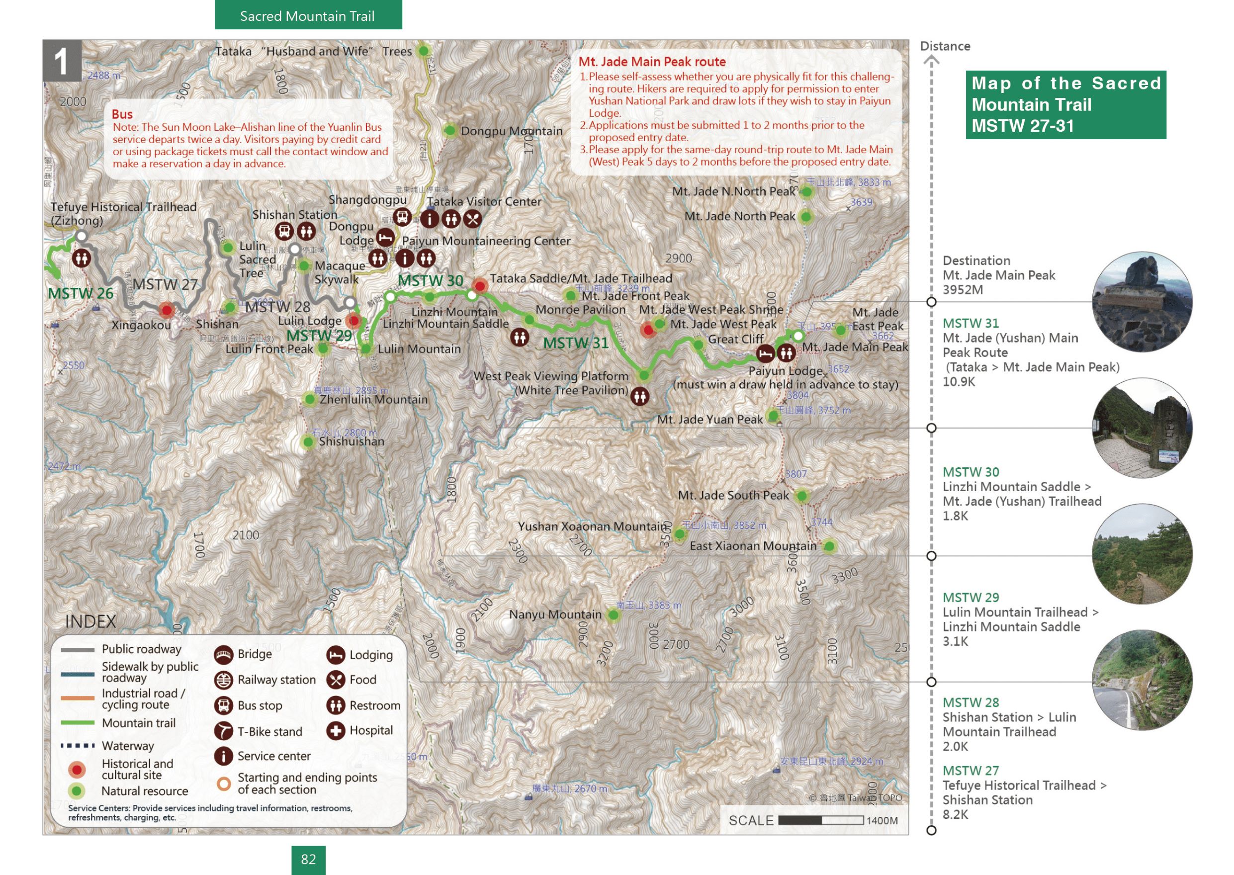
Elevation: Minimum 2,273 meters, Maximum 3,952 meters | Total distance: 26.0 kilometers
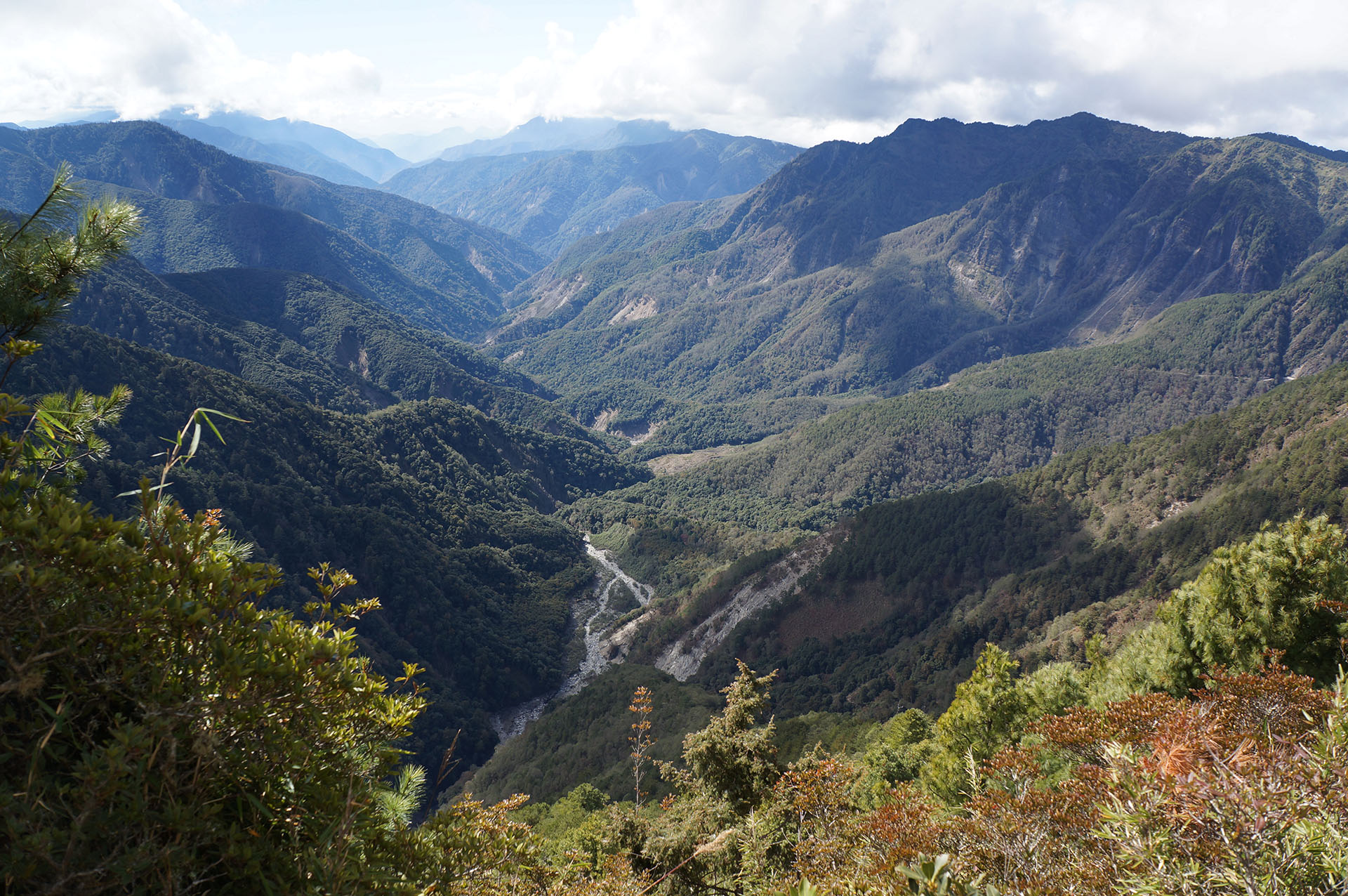
Mt. Jade, the highest mountain in Taiwan, is the holy mountain of the Tsou and Bunun tribes. As the spiritual symbol of Taiwan, it has attracted countless brave hikers to try to reach the peak and has won the admiration of indigenous and other ethnic groups. The early exploration of Mt. Jade can be traced back to the opening of the port for business purposes in 1860. At that time, the Han Chinese could only watch Mt. Jade from afar due to their fear of the indigenous peoples, while the Spanish wanted to develop Mt. Jade. Ecological surveys and hiking activities only began during Japanese colonial rule. With its rich ecology and diverse forest microclimates, animals may appear on the trail unexpectedly. Once reaching the summit, visitors are greeted by a stunning 360° view of the magnificent mountainous scenery.
Trails Map
Please select the type of points you wish to display:


No location is founded.
You can select the routes or services you wish to view.



Service Points
Do you wish to take a break during your trek across the MSTW or learn more about the history along the greenway? Visit these Service Points, where restrooms, drinking water, and charging stations are available. You can also obtain travel information about the MSTW and its surrounding attractions!
Alishan Transport Station
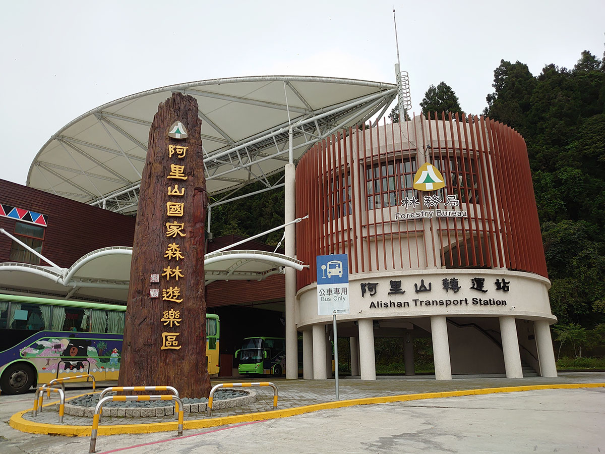
No. 55, Southern Alishan, Neighborhood 1, Zhongshan Village, Alishan Village, Chiayi County
23.50847, 120.80161(Check on Google Maps)
08:00-17:00
Dongpu Lodge
No. 77, Zizhong, Zhongshan Village, Xinyi Township, Nantou County
23.48437, 120.88611(Check on Google Maps)
( More Information )
Paiyun Trailhead Service Center

No. 151, Taiping Lane, Xinyi Township, Nantou County
23.48164, 120.88699(Check on Google Maps)
06:30-16:30
( More Information )
Tataka Visitor Center
No. 118, Taiping Lane, Tongfu Village, Xinyi Township, Nantou County
23.48736, 120.89173(Check on Google Maps)
09:00-16:30. Closed on Lunar New Year's Eve and the second Tuesday of each month. If the closing date falls on a public holiday, the closing date will be extended by one day.
Trial Guide
MSTW 27 Tefuye Historical Trailhead → Shishan Parking Lot
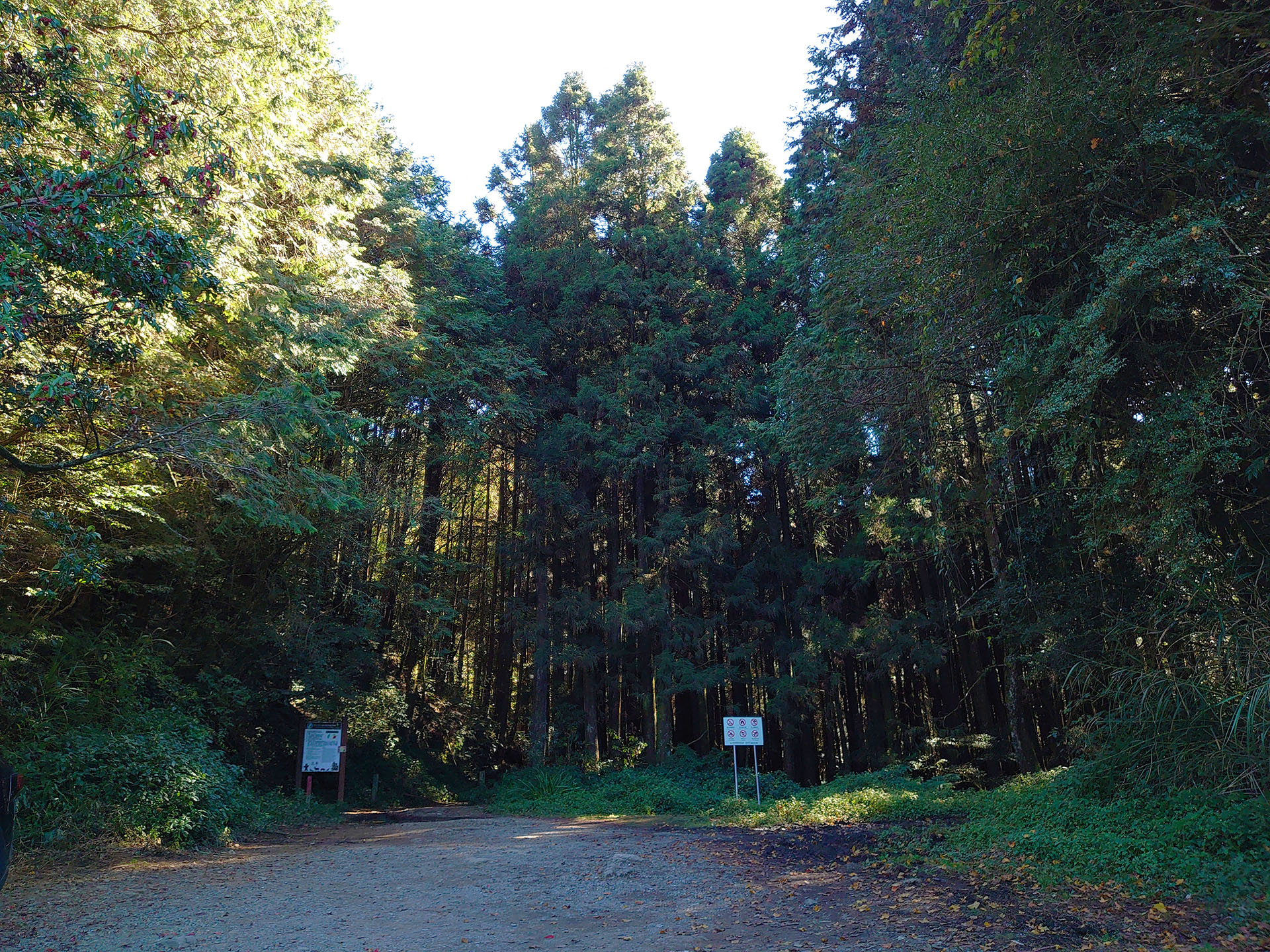
Xingaokou: the Original Gateway to Mt. Jade (Yushan)
During Japanese ruling period, hikers had to hike Mt.Jade from Zhaoping to Xingaokou on foot. Later, after the forest railway was constructed, hikers could take the train to Xingaokou. The number of hikers increased beause of the reduction in travel time. Let’s explore Xingaokou together!
Distance
Public roadway 8.2 km
Difficulty
Grade 0
(
Check Difficulty Level
)
Time required
2 hr. walk
Starting and ending points
Tefuye Historical Trailhead (from Zizhong) / Shishan Parking Lot
Transportation
For ZizhongBus Stop: take Yuanlin Bus 6739 bus and get off at Zizhong Station. (Please call Shuili Station to make a reservation 3 days in advance.)
For ShishanBus Stop: take Yuanlin Bus 6739 bus and get off at Shishan Station. (Please call Shuili Station to make a reservation 3 days in advance.)
For ShishanBus Stop: take Yuanlin Bus 6739 bus and get off at Shishan Station. (Please call Shuili Station to make a reservation 3 days in advance.)
Food
Visitors are recommended to bring their own food and beverages as there is no grocery nor restuarant along the way (For those who stay in Alishan Forest Recreation Area the night before the hike trip may purchase food and beverages there).
Surrounding attractions
Xingaokou, Lulin Sacred Tree, Yushan National Park boundary tablet, Shishan Parking Lot
Route
Located on the mountain saddle between Chushan and Mt. Kodama, Zizhong was called “Kodama” during Japanese ruling period, and was once a branch line of the Alishan logging railway (Shuishan Line) and the Kodama Line. Depart from Zizhong and take Provincial Highway 18 in the direction of Shishan Parking Lot to enjoy the views from several scenic viewpoints along the mountain road, with few spaces for walking on the roadside; pass by Xingaokou and the Lulin Sacred Tree to arrive at Shishan Parking Lot. Xingaokou was previously known as Mt Jade Pass. It was not only the hiking entrance of Mt. Jade before World War II, but also the intersection of the Dongpu Logging Railway, Xiashan Line, and Shishuishan Line.
Features
There are several places where visitors can look out over the mountain ranges and enjoy the glorious scenery.
MSTW 28 Shishan Parking Lot → Lulin Trail
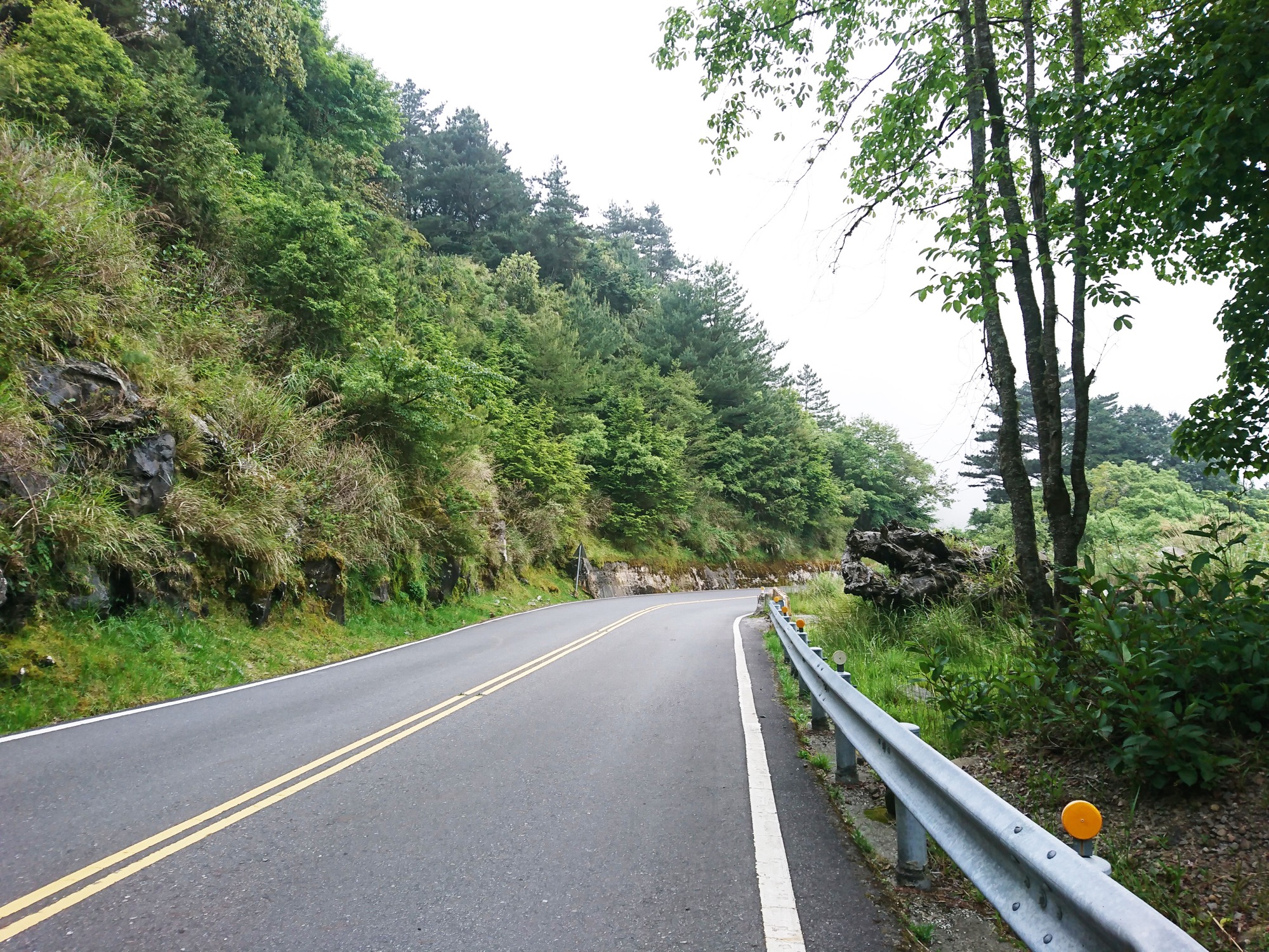
Once a Forest Railway, Now a Macaque Skywalk
The forest railway was built by the Japanese. Later, the National Government of R.O.C constructed a roadway. In recent decades, an awareness of the need for ecological preservation has gradually developed, so that Yushan National Park Headquarters built the Macaque Skywalk as a sign that people are paying greater attention to protecting life on the island.
Distance
Public roadway 2.0 km
Difficulty
Grade 0
(
Check Difficulty Level
)
Time required
30 min. walk
Starting and ending points
Shishan Parking Lot / Lulin Trail
Transportation
For ShishanBus Stop: take Yuanlin Bus 6739 bus and get off at Shishan Station. (Please call Shuili Station to make a reservation 3 days in advance.)
Food
Visitors are recommended to bring their own food and beverages since there is no shops along the way.
Surrounding attractions
Shishan Parking Lot and Macaque Skywalk
Route
The Macaque Skywalk is where the Dongpu Railway Line was located. Depart from Shishan Station and take Provincial Highway 18 to see a coniferous forest and plants including Taiwanese sweet gum, Taiwan red maple, and silver grass; after passing the Macaque Skywalk, hikers will arrive at the Lulin Trail. The Macaque Skywalk was built by the Yushan National Park Headquarters, whose ecological conservation efforts allow travelers to observe Formosan macaques along Provincial Highway 18 from time to time.
Features
Visitors may see Formosan macaques walking on the Macaque Skywalk as well as breathtaking views of leaves turning red and yellow in the fall.
Note
Do not feed the Formosan macaques.
MSTW 29 Lulin Trail → Lulin Mountain → Linzhi Mountain Saddle
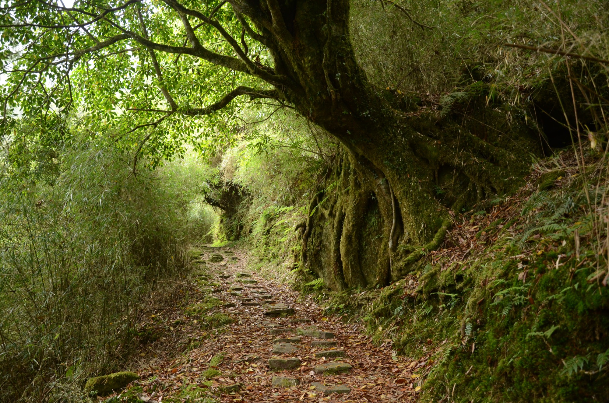
Lulin Lodge via a Trail Featuring Green Tunnels and a Path Covered in Pine Needles
In 1926, the Japanese hiked from Alishan to Mt. Jade and constructed three lodges along the way. One of the lodges, named Lulin Lodge, was built by using Alishan hinoki cypress to provide hikers with a sturdy, long-lasting shelter.
Distance
Mountain trail 3.1 km
Difficulty
Grade 3
(
Check Difficulty Level
)
Time required
Lulin Trail → Lulin Mountain → Linzhi Mountain Saddle, 3 hr. walk
Linzhi Mountain Saddle → Lulin Mountain → Lulin Trail, 2 hr. 30 min. walk
Linzhi Mountain Saddle → Lulin Mountain → Lulin Trail, 2 hr. 30 min. walk
Starting and ending points
Lulin Trail / Linzhi Mountain Saddle
Transportation
For ShishanBus Stop: take Yuanlin Bus 6739 bus and get off at Shishan Station. (Please call Shuili Station to make a reservation 3 days in advance.)
Food
Visitors are recommended to bring their own food and beverages since there is no shop along the way.
Surrounding attractions
Lulin Lodge, Linzhi Mountain Saddle, and Lulin Mountain
Route
Depart from the Lulin Trail next to Provincial Highway 18, first arrive at Lulin Lodge, then reach the peak of Lulin Mountain, and stroll all along the way to the saddle of Linzhi Mountain. During the early Japanese ruling period, there were three routes that travelers could take to climb Mt. Jade. The first was a long route that began at Alishan’s Zhaoping Railway Station, from which visitors would climb Shuishan, Shishan, and the Lulin Mountain ridge to arrive at Tataka Saddle before ascending Mt. Jade. By the mid-ruling period, the railway connecting Kodama (Zizhong) with Dongpu (Tataka Saddle) via Lulin Mountain was built for logging, and to encourage the public to take up mountaineering. In 1926, a new trail up to Mt. Jade was built, and three resting shlters (including Lulin Lodge) were built. Lulin Mountain, which has an altitude of 2,858 meters, looks south toward the southern section of the Central Mountain Range and the pyramid-like Guanshan, and east-northeast towards Yushan Range. Visitors can immerse themselves in the nature and enjoy a panoramic view at the peak of Lulin Mountain.
Features
The views in the bamboo forest and under pine trees make visitors feel as if they are traveling in a green tunnel. The path is either covered with pine needles or bamboo leaves, evoking a sense of stillness.
Note
The mountain path is relatively flat and contains stairs. Visitors must be well-prepared and assess whether they are physically fit enough to climb the stairs.
MSTW 30 Linzhi Mountain Saddle → Mt. Jade Trailhead
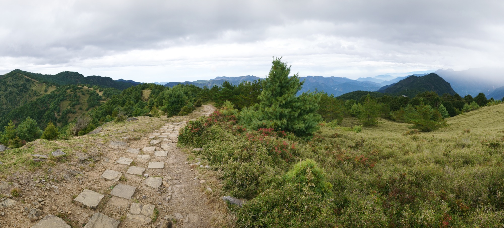
The Linzhi Mountain Trail, a Trial Run for Climbing Mt. Jade Main Peak
When walking along this short trail, visitors can enjoy an array of plants that grow in midto-high altitude environment environment, and if lucky, run into run into Formosan yellowthroated marten. While hiking, visitors can certainly enjoy a great view of the surrounding mountains and the main peak of Mt. Jade.
Distance
Mountain trail 1.8 km
Difficulty
Grade 3
(
Check Difficulty Level
)
Time required
2 hr. walk
Starting and ending points
Linzhi Mountain Saddle / Mt. Jade (Yushan) Trailhead
Transportation
Bus stop: take Yuanlin Bus 6739 bus and get off at Upper Dongpu Station. (Please call Shuili Station to make a reservation 3 days in advance.) Walk to Paiyun Mountain Climbing Service Center and you can take a paid shuttle bus to Yushan Trailhead.
Food
Visitors are receommended to bring their own food and beverages since there is no grocery nor restaurant along the way.
Surrounding attractions
Lulin Lodge, Linzhi Mountain Saddle, alpine pond, Linzhi Mountain, Tataka Saddle, and Mt. Jade (Yushan) trailhead
Route
Depart from Linzhi Mountain Saddle and go in the direction of Tataka Saddle towards to Mt. Jade (Yushan) trailhead. Tataka Saddle is located at the junction of the Alishan Range and Yushan Range. In the Tsou language, Tataka means a grassy tableland. This area is a traditional hunting ground for the Tsou and Bunun people. Linzhi Mountain is at an altitude of 2,854m and, despite the lack of trigonometrical points, it has perfect views. When the weather is nice, visitors can see Mt. Jade Main Peak and West Peak, as well as Alishan Range. The trail is easy to walk on and features alpine plants and animals along the way.
Features
The Linzhi Mountain trail boasts perfect views of Lulin Mountain, Main Peak and West Peak of Mt. Jade, the Alishan Range, and the alpine landscape.
Note
The mountain path is relatively flat and contains stairs. Visitors must be well-prepared and assess whether they are physically fit for climbing.
MSTW 31 Mt. Jade Main Peak Route
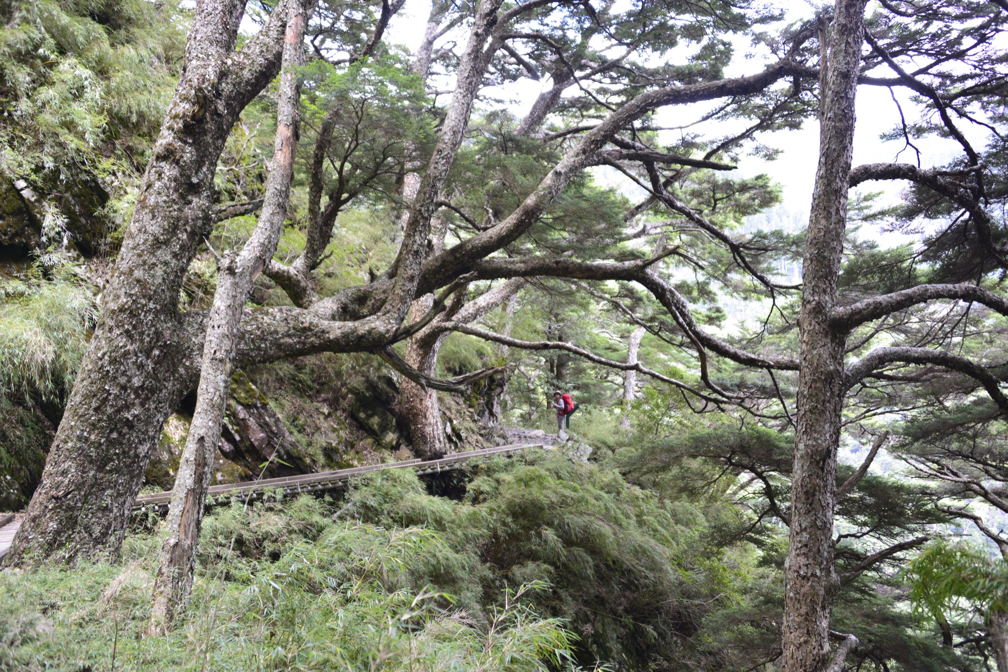
Mt. Jade Main Peak, the Highest Mountain in Taiwan with an Altitude of 3,952 Meters
Taiwan is a mountainous island with magnificent scenery and a diversity of landforms. Mt. Jade Main Peak, at a height of 3,952 meters above sea level, is the highest mountain in Taiwan, and reaching its summit is on the bucket list of many Taiwanese people.
Distance
Mountain trail 10.9 km
Difficulty
Grade 5
(
Check Difficulty Level
)
Time required
a two-day trip
Starting and ending points
Mt. Jade (Yushan) trailhead (visitors must take the same route back)
Transportation
Bus stop: take Yuanlin Bus 6739 bus and get off at Upper Dongpu Station. (Please call Shuili Station to make a reservation 3 days in advance.) Walk to Paiyun Mountain Climbing Service Center and you can take a paid shuttle bus to Yushan Trailhead.
Food
Visitors are recommended to bring their own food and beverages. Paiyun Lodge provide meal service, for those stay at the lodge can make the reservation in advance.
Surrounding attractions
Mt. Jade(Yushan)Trailhead, Monroe Pavilion, White Tree Pavilion, Great Cliff, Paiyun Lodge, and Mt. Jade Main Peak
Route
The route starts at Mt. Jade trailhead. Along the way, hikers will pass the Monroe Pavilion, White Tree Pavilion, Great Cliff and finally arrive at the Paiyun Lodge (8.5K). Visitors will wake up in the early morning and complete the remaining steep 2.4 km route on the following day. Prior to reaching Mt. Jade Main Peak, the route gradually transforms into broken stone, and the last 200 meters before the peak is a steep slope. Along the trail, visitors will find dragon spruce, Taiwan hemlock and Taiwan white fir forests, alpine grass, flowers, and plants that bloom in different seasons. Excellent views of Nanzixian River Valley, the surrounding mountains, and clouds on Mt. Jade Main Peak are also mesmerizing. The view from the top of the mountain stretches as far as the eye can see, and hikers may enjoy a breathtaking sunrise when the weather is great.
Features
The famous sunrise of Mt. Jade, forests at different altitudes, and a variety of alpine plants and wild animals.
Note
◆ The way to Mt. Jade Main Peak is a challenging routeand it is highly recommended that hikers need to have relevant mountain-climbing experience. In addition, hikers should assess whether they are physically fit enough for the strenuous climb, and be well-trained and well-prepared prior to attempting it.
◆ Per regulations, please apply to the Yushan National Park Headquarters for permission to enter the park. To stay at Paiyun Lodge, visitors must be chosen by lot in advance.
◆ Hikers are recommended to stay at Dongpu Lodge the night prior to climbing Mt. Jade for altitudinal adaptation to reduce the chance of experiencing altitude sickness.
◆ Per regulations, please apply to the Yushan National Park Headquarters for permission to enter the park. To stay at Paiyun Lodge, visitors must be chosen by lot in advance.
◆ Hikers are recommended to stay at Dongpu Lodge the night prior to climbing Mt. Jade for altitudinal adaptation to reduce the chance of experiencing altitude sickness.
Travel Information
Lodging
Visitors are recommended to arrange their stay at the Alishan Forest Recreation Area. The only places where visitors can stay in the Tataka region and Mt. Jade Main Peak are Dongpu Lodge and Paiyun Lodge, respectively. It is worthy to note that only those are chosen by lot (drawing held in advance) to be granted an opportunity to stay at Paiyun Lodge.
Local specialties
Flora
Taiwan red pine, Taiwan white pine, dragon spruce, Taiwan hemlock, Taiwan white fir, Juniperus squamata, Yushan rhododendron, Yushan rose, Taiwan gaultheria, Taiwan Mountain Ash, etc.
Fauna
Formosan macaque, Formosan sambar, Formosan black bear, Formosan serow, Formosan wild boar, etc.
Avifauna
135 species of birds including Swinhoe's Pheasant, Mikado Pheasant, Taiwan yuhina, and the Taiwan laughing thrush.
Notes
- Please reserve mountain lodges and obtain mountain and park entry permits in accordance with the rules.
- Please check the weather forecast and stay updated on the latest typhoon information.
- Please stop walking when enjoying the beautiful scenery along the trail. Always maintain awareness of the route while walking.
- Please remain near the bottom of the slope when hiking along sloping surfaces and watch out for falling rocks, dead branches, and hidden gaps as you go.
- Please keep your distance from wild animals and do not feed them.
- Be sure to protect yourself from the elements and stay warm. Ice climbing equipment and skills are required for traversing areas with snow and ice during winter.
- There is always risks in outdoor activities. Please be aware of your surroundings and stay safe.

Trail difficulty level
The Forestry and Nature Conservation Agency has established a five-level trail classification system based on factors such as elevation, walking time, required equipment, and trail difficulty, matching each trail with suitable users. Level 1 is the easiest, while Level 5 is the most difficult. In addition to providing hikers with information on trail characteristics and difficulty, the classification system allows them to assess in advance whether a trail is suitable for them, thereby enhancing trail safety.
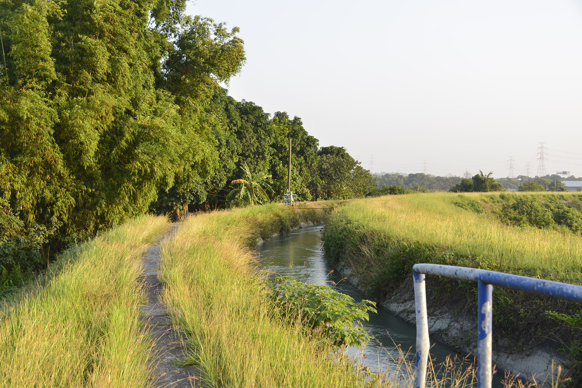
The National Greenway of Mountain and Sea (Shanhai National Greenway) adopts the trail classification system established by the Forestry and Nature Conservation Agency. However, because the route includes various types of paths, additional classifications have been introduced. Roads, industrial roads—including industrial roads, bicycle paths, trails along irrigation channels, and riverside embankment roads—roadside pedestrian paths, and waterways are classified as Level 0, representing routes generally suitable for the general public.
| Hiking Level |
|
|
|
|
|
|
|
||||||||||||||||||||||||||||||||||||||||||
|---|---|---|---|---|---|---|---|---|---|---|---|---|---|---|---|---|---|---|---|---|---|---|---|---|---|---|---|---|---|---|---|---|---|---|---|---|---|---|---|---|---|---|---|---|---|---|---|---|---|
| Target | General Public | General Public | Those who have better physical energy | Beginner mountain climber with good physical energy and map literacy. | Open to those who have good physical strength, map reading skills, and wild survival skills. | Open to well-trained mountain climbers. | Open to well-trained mountain climbers. | ||||||||||||||||||||||||||||||||||||||||||
| Elevation | Gently sloping area | In recreational areas, close to settlements or about 1,000 meters above sea level. | In recreational areas, close to settlements or between 1,000~2,000 meters above sea level. | Remote areas or between 2,000 to 3,000 meters above sea level | Remote areas, wilderness, or between 2,000 to 3,000 meters above sea level | Remote areas, wilderness, or more than 3,000 meters above sea level | Remote areas, wilderness, or more than 3,000 meters above sea level | ||||||||||||||||||||||||||||||||||||||||||
| Required Time | It takes half to one day. | It takes half to one day. | It can be done within one day. | It takes one or more days. | Overnight preparation required. | It takes up to three days. | It takes up to three days. | ||||||||||||||||||||||||||||||||||||||||||
| Equipment | Light backpacking (water and small amount of food) | Light backpacking (water and small amount of food) | Light backpacking (water and proper amount of food) | Overnight preparation required. (e.g. drinking water, food, map, warm clothing, first-aid medicine, etc.) Application for entrance permission in advance is required if there is access control. | Comprehensive Mountaineering Gear Required. (e.g. food, drinking water, cooking utensils, map, warm clothing, flashlight, sleeping bag, tent, etc.) Application for entrance permission in advance is required if there is access control. | Comprehensive Mountaineering Gear Required. (e.g. food, drinking water, cooking utensils, map, warm clothing, flashlight, sleeping bag, tent, etc.) Application for entrance permission in advance is required if there is access control. | Comprehensive Mountaineering Gear Required. (e.g. food, drinking water, cooking utensils, map, warm clothing, flashlight, sleeping bag, tent, etc.) Application for entrance permission in advance is required if there is access control. | ||||||||||||||||||||||||||||||||||||||||||
| Description | Flat hiking trails. Relatively even slopes with comprehensive facilities and smooth road surface. Accessible for handicapped assistive devices or baby strollers. | An open hiking trail with easy access. Relatively even slopes with comprehensive facilities and smooth road surface. It takes half a day or less than one day to complete. | An open hiking trail with easy access. Somewhat steep slope with some difficult sections, but has comprehensive facilities and smooth road surface. It takes less than one day to complete. | A hiking trail locates at remote area or with part of the route is in area which requires entrance permission. Application in advance is required. Part of the route is in relatively bad condition with steeper slopes, but basic facilities are provided. It takes one day or between one to three days to complete. | A hiking trail locates at remote area or with part of the route is in area which requires entrance permission. It’s located in high-altitude areas (higher than 3000 meters above sea level). The trail is relatively primitive, with steeper slopes and unstable weather conditions. Part of the route may be dangerous or difficult for climbers. It takes two to three days to complete. Lead from professionals is recommended. | A hiking trail locates at area with inconvenient traffic, and mostly with routes in area which requires entrance permission. It’s located in high-altitude areas (higher than 3000 meters above sea level). The trail is located at primitive area, with bad condition, steeper slopes, and unstable weather conditions. Many parts of the route may be dangerous or difficult for climbers. It takes three or more days to complete. Lead from professionals is recommended. | 1. Level 3, 4 or 5 trails when snow or ice accumulating 2. Informal trails, without clear subgrades or paths, belong to special routes such as original mountain trails, ancient trail relics, prospecting, or technical climbing. |
Hiking Level
Target
General Public
Elevation
Gently sloping area
Required Time
It takes half to one day.
Equipment
Light backpacking (water and small amount of food)
Description
Flat hiking trails. Relatively even slopes with comprehensive facilities and smooth road surface. Accessible for handicapped assistive devices or baby strollers.
Hiking Level
Target
General Public
Elevation
In recreational areas, close to settlements or about 1,000 meters above sea level.
Required Time
It takes half to one day.
Equipment
Light backpacking (water and small amount of food)
Description
An open hiking trail with easy access. Relatively even slopes with comprehensive facilities and smooth road surface. It takes half a day or less than one day to complete.
Hiking Level
Target
Those who have better physical energy
Elevation
In recreational areas, close to settlements or between 1,000~2,000 meters above sea level.
Required Time
It can be done within one day.
Equipment
Light backpacking (water and proper amount of food)
Description
An open hiking trail with easy access. Somewhat steep slope with some difficult sections, but has comprehensive facilities and smooth road surface. It takes less than one day to complete.
Hiking Level
Target
Beginner mountain climber with good physical energy and map literacy.
Elevation
Remote areas or between 2,000 to 3,000 meters above sea level
Required Time
It takes one or more days.
Equipment
Overnight preparation required. (e.g. drinking water, food, map, warm clothing, first-aid medicine, etc.)
Application for entrance permission in advance is required if there is access control.
Description
A hiking trail locates at remote area or with part of the route is in area which requires entrance permission. Application in advance is required. Part of the route is in relatively bad condition with steeper slopes, but basic facilities are provided. It takes one day or between one to three days to complete.
Hiking Level
Target
Open to those who have good physical strength, map reading skills, and wild survival skills.
Elevation
Remote areas, wilderness, or between 2,000 to 3,000 meters above sea level
Required Time
Overnight preparation required.
Equipment
Comprehensive Mountaineering Gear Required. (e.g. food, drinking water, cooking utensils, map, warm clothing, flashlight, sleeping bag, tent, etc.)
Application for entrance permission in advance is required if there is access control.
Description
A hiking trail locates at remote area or with part of the route is in area which requires entrance permission. It’s located in high-altitude areas (higher than 3000 meters above sea level). The trail is relatively primitive, with steeper slopes and unstable weather conditions. Part of the route may be dangerous or difficult for climbers. It takes two to three days to complete. Lead from professionals is recommended.
Hiking Level
Target
Open to well-trained mountain climbers.
Elevation
Remote areas, wilderness, or more than 3,000 meters above sea level
Required Time
It takes up to three days.
Equipment
Comprehensive Mountaineering Gear Required. (e.g. food, drinking water, cooking utensils, map, warm clothing, flashlight, sleeping bag, tent, etc.)
Application for entrance permission in advance is required if there is access control.
Description
A hiking trail locates at area with inconvenient traffic, and mostly with routes in area which requires entrance permission. It’s located in high-altitude areas (higher than 3000 meters above sea level). The trail is located at primitive area, with bad condition, steeper slopes, and unstable weather conditions. Many parts of the route may be dangerous or difficult for climbers. It takes three or more days to complete. Lead from professionals is recommended.
Hiking Level
Target
Open to well-trained mountain climbers.
Elevation
Remote areas, wilderness, or more than 3,000 meters above sea level
Required Time
It takes up to three days.
Equipment
Comprehensive Mountaineering Gear Required. (e.g. food, drinking water, cooking utensils, map, warm clothing, flashlight, sleeping bag, tent, etc.)
Application for entrance permission in advance is required if there is access control.
Description
1. Level 3, 4 or 5 trails when snow or ice accumulating
2. Informal trails, without clear subgrades or paths, belong to special routes such as original mountain trails, ancient trail relics, prospecting, or technical climbing.
Total Page Views:144
 {action_date}
 {position}


