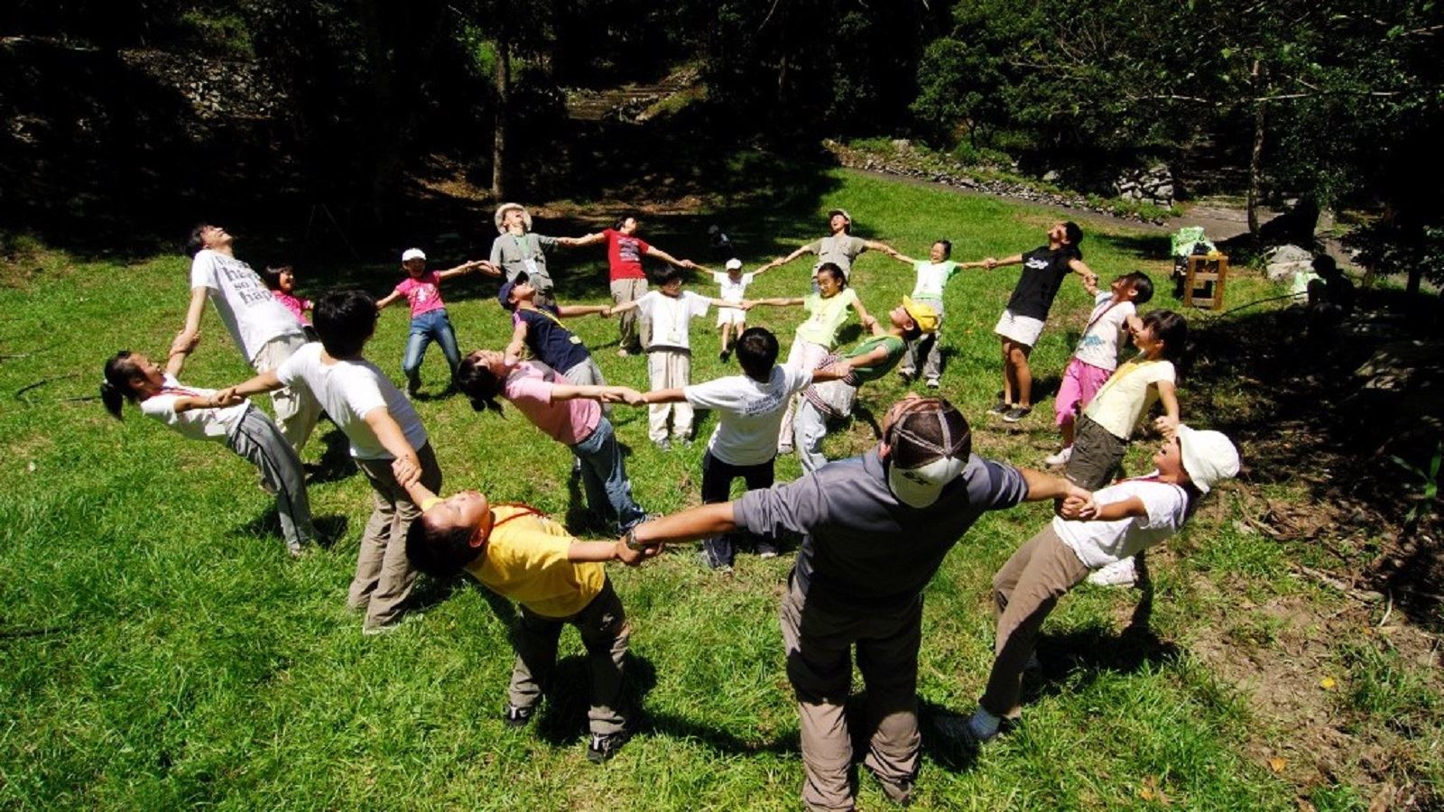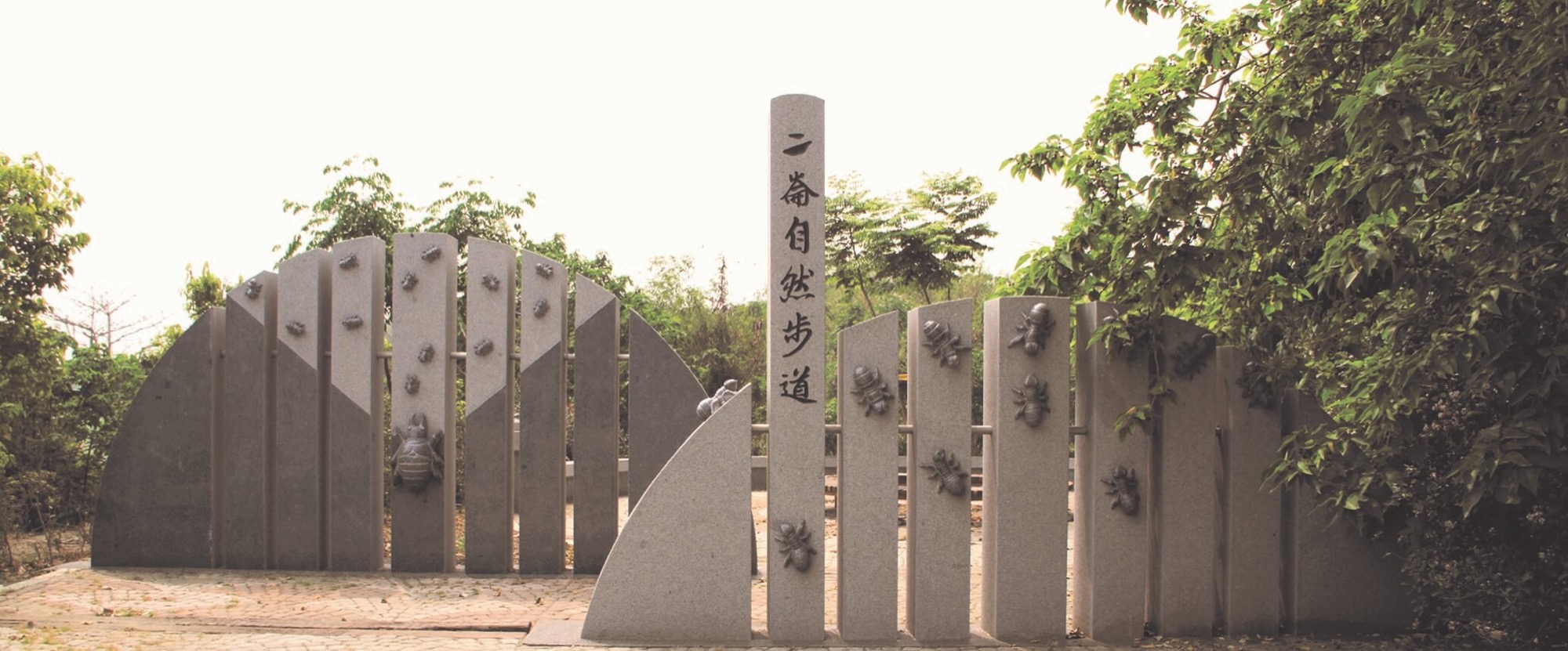
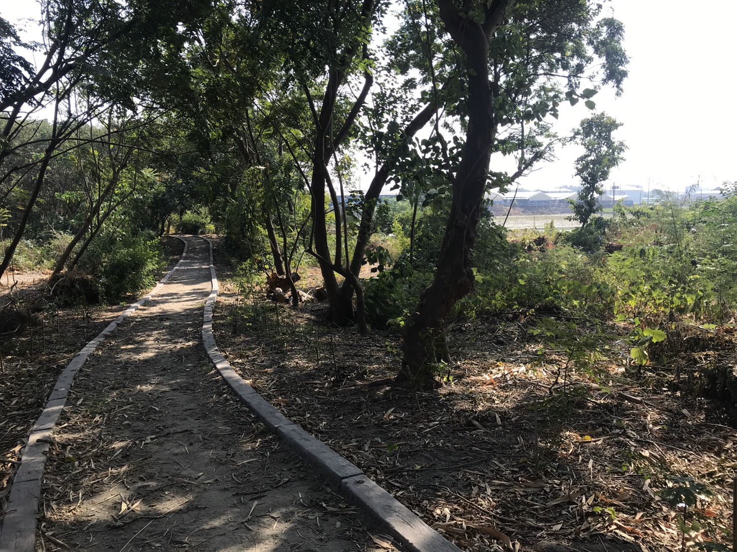
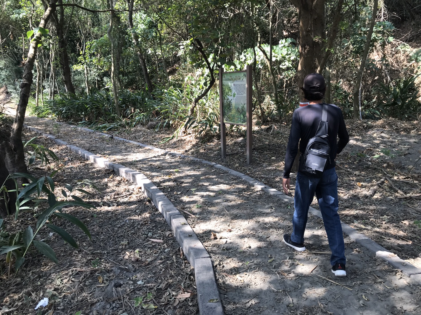
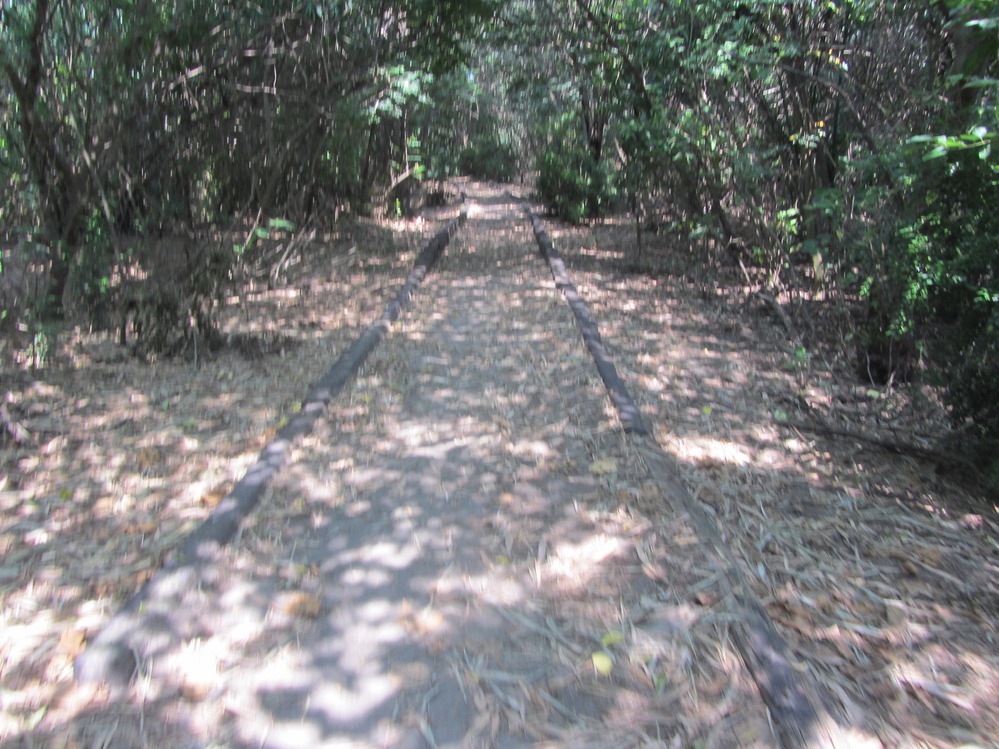
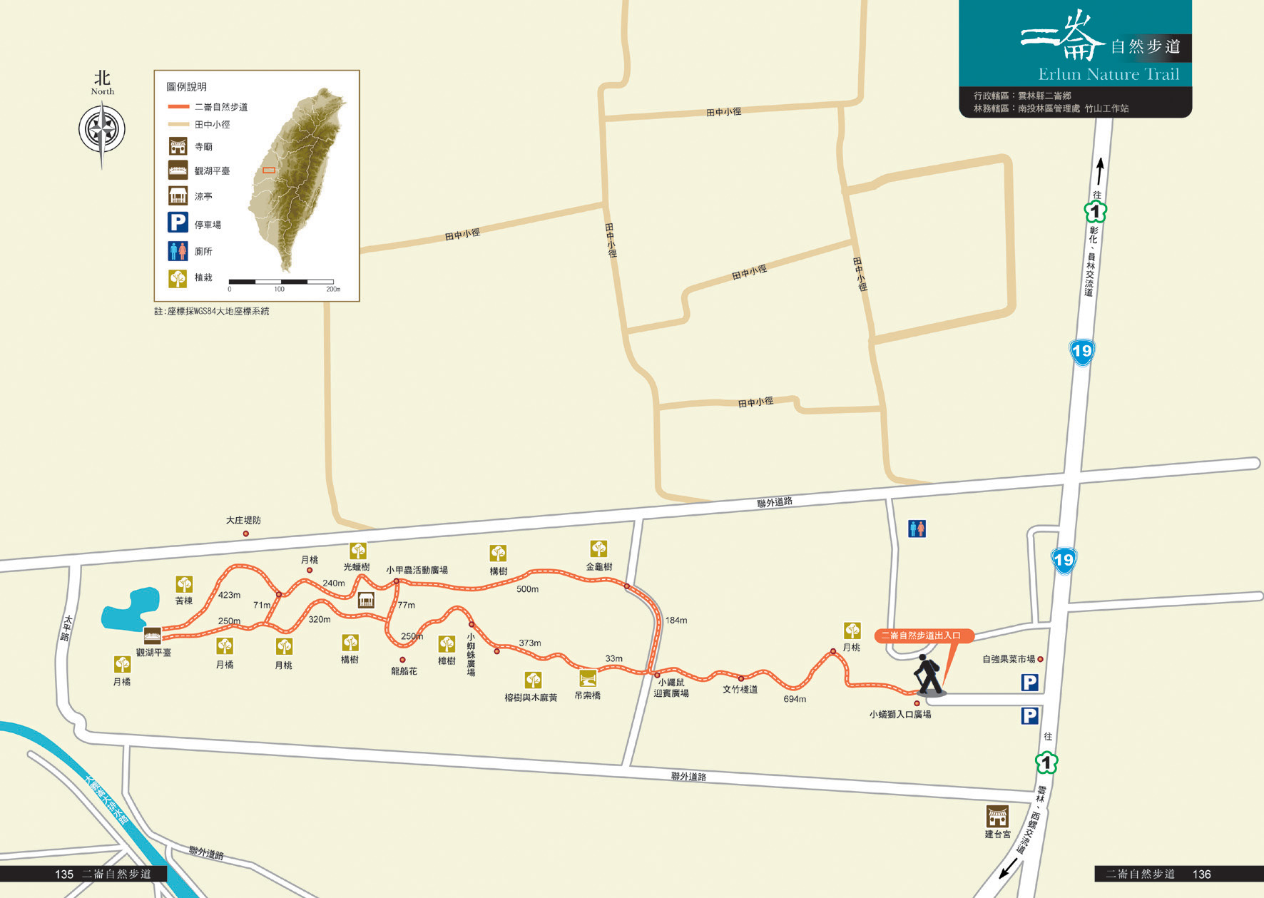
The Erlun Natural Trail is under the Ziqiang Bridge in Yunlin County on the south shore of the Zhuoshui River, in the 27-hectare protection forest west of Provincial Highway 19. During the Japanese Rule, the area was called Sifandi. The sand in the riverbed piled up over the years and became the lush green Shalun Hill today. The walk is on soft, golden sandy ground. The trail runs up and down along the hill. There are the Wenzhu Boardwalk, a suspension bridge, the Lake-watching Deck, an outdoor entomology classroom, a pavilion and rest stops along the way.
07/29 Wed.
Open
29°
26° / 33°
雲林縣 / 二崙鄉
More
Weather Forecast
|
07.29
Today
|
07.30
Thur.
|
07.31
Fri.
|
08.01
Sat.
|
08.02
Sun.
|
08.03
Mon.
|
08.04
Tue.
|
|
|---|---|---|---|---|---|---|---|
| Temperature |
26 ° / 33 °
|
26 ° / 33 °
|
27 ° / 34 °
|
26 ° / 34 °
|
27 ° / 34 °
|
26 ° / 34 °
|
26 ° / 34 °
|
| Feel like | 30 ° / 37 ° | 30 ° / 37 ° | 30 ° / 38 ° | 30 ° / 39 ° | 30 ° / 38 ° | 29 ° / 37 ° | 29 ° / 37 ° |
|
Probability of Precipitation |
10 % | 10 % | 80 % | - | - | - | - |
| Relative Humidity | 85 % | 84 % | 86 % | 86 % | 79 % | 78 % | 78 % |
|
Wind speed Wind direction |
3
S
|
2
S
|
2
S
|
2
NE
|
2
N
|
2
N
|
2
NE
|
| UVI |
9
Very High
|
9
Very High
|
8
Very High
|
8
Very High
|
8
Very High
|
9
Very High
|
9
Very High
|
|
Sunrise Sunset |
|
|
|
|
|
|
|
Central Weather Bureau|Update Time:2026/07/28 22:44
Erlun Township, Yunlin County
Erlun Nature Trail
Learn about the Trail
Trail difficulty level
| Hiking Level |
|
|
|
|
|
|
|
||||||||||||||||||||||||||||||||||||||||||
|---|---|---|---|---|---|---|---|---|---|---|---|---|---|---|---|---|---|---|---|---|---|---|---|---|---|---|---|---|---|---|---|---|---|---|---|---|---|---|---|---|---|---|---|---|---|---|---|---|---|
| Target | General Public | General Public | Those who have better physical energy | Beginner mountain climber with good physical energy and map literacy. | Open to those who have good physical strength, map reading skills, and wild survival skills. | Open to well-trained mountain climbers. | Open to well-trained mountain climbers. | ||||||||||||||||||||||||||||||||||||||||||
| Elevation | Gently sloping area | In recreational areas, close to settlements or about 1,000 meters above sea level. | In recreational areas, close to settlements or between 1,000~2,000 meters above sea level. | Remote areas or between 2,000 to 3,000 meters above sea level | Remote areas, wilderness, or between 2,000 to 3,000 meters above sea level | Remote areas, wilderness, or more than 3,000 meters above sea level | Remote areas, wilderness, or more than 3,000 meters above sea level | ||||||||||||||||||||||||||||||||||||||||||
| Required Time | It takes half to one day. | It takes half to one day. | It can be done within one day. | It takes one or more days. | Overnight preparation required. | It takes up to three days. | It takes up to three days. | ||||||||||||||||||||||||||||||||||||||||||
| Equipment | Light backpacking (water and small amount of food) | Light backpacking (water and small amount of food) | Light backpacking (water and proper amount of food) | Overnight preparation required. (e.g. drinking water, food, map, warm clothing, first-aid medicine, etc.) Application for entrance permission in advance is required if there is access control. | Comprehensive Mountaineering Gear Required. (e.g. food, drinking water, cooking utensils, map, warm clothing, flashlight, sleeping bag, tent, etc.) Application for entrance permission in advance is required if there is access control. | Comprehensive Mountaineering Gear Required. (e.g. food, drinking water, cooking utensils, map, warm clothing, flashlight, sleeping bag, tent, etc.) Application for entrance permission in advance is required if there is access control. | Comprehensive Mountaineering Gear Required. (e.g. food, drinking water, cooking utensils, map, warm clothing, flashlight, sleeping bag, tent, etc.) Application for entrance permission in advance is required if there is access control. | ||||||||||||||||||||||||||||||||||||||||||
| Description | Flat hiking trails. Relatively even slopes with comprehensive facilities and smooth road surface. Accessible for handicapped assistive devices or baby strollers. | An open hiking trail with easy access. Relatively even slopes with comprehensive facilities and smooth road surface. It takes half a day or less than one day to complete. | An open hiking trail with easy access. Somewhat steep slope with some difficult sections, but has comprehensive facilities and smooth road surface. It takes less than one day to complete. | A hiking trail locates at remote area or with part of the route is in area which requires entrance permission. Application in advance is required. Part of the route is in relatively bad condition with steeper slopes, but basic facilities are provided. It takes one day or between one to three days to complete. | A hiking trail locates at remote area or with part of the route is in area which requires entrance permission. It’s located in high-altitude areas (higher than 3000 meters above sea level). The trail is relatively primitive, with steeper slopes and unstable weather conditions. Part of the route may be dangerous or difficult for climbers. It takes two to three days to complete. Lead from professionals is recommended. | A hiking trail locates at area with inconvenient traffic, and mostly with routes in area which requires entrance permission. It’s located in high-altitude areas (higher than 3000 meters above sea level). The trail is located at primitive area, with bad condition, steeper slopes, and unstable weather conditions. Many parts of the route may be dangerous or difficult for climbers. It takes three or more days to complete. Lead from professionals is recommended. | 1. Level 3, 4 or 5 trails when snow or ice accumulating 2. Informal trails, without clear subgrades or paths, belong to special routes such as original mountain trails, ancient trail relics, prospecting, or technical climbing. |
Hiking Level
Target
General Public
Elevation
Gently sloping area
Required Time
It takes half to one day.
Equipment
Light backpacking (water and small amount of food)
Description
Flat hiking trails. Relatively even slopes with comprehensive facilities and smooth road surface. Accessible for handicapped assistive devices or baby strollers.
Hiking Level
Target
General Public
Elevation
In recreational areas, close to settlements or about 1,000 meters above sea level.
Required Time
It takes half to one day.
Equipment
Light backpacking (water and small amount of food)
Description
An open hiking trail with easy access. Relatively even slopes with comprehensive facilities and smooth road surface. It takes half a day or less than one day to complete.
Hiking Level
Target
Those who have better physical energy
Elevation
In recreational areas, close to settlements or between 1,000~2,000 meters above sea level.
Required Time
It can be done within one day.
Equipment
Light backpacking (water and proper amount of food)
Description
An open hiking trail with easy access. Somewhat steep slope with some difficult sections, but has comprehensive facilities and smooth road surface. It takes less than one day to complete.
Hiking Level
Target
Beginner mountain climber with good physical energy and map literacy.
Elevation
Remote areas or between 2,000 to 3,000 meters above sea level
Required Time
It takes one or more days.
Equipment
Overnight preparation required. (e.g. drinking water, food, map, warm clothing, first-aid medicine, etc.)
Application for entrance permission in advance is required if there is access control.
Description
A hiking trail locates at remote area or with part of the route is in area which requires entrance permission. Application in advance is required. Part of the route is in relatively bad condition with steeper slopes, but basic facilities are provided. It takes one day or between one to three days to complete.
Hiking Level
Target
Open to those who have good physical strength, map reading skills, and wild survival skills.
Elevation
Remote areas, wilderness, or between 2,000 to 3,000 meters above sea level
Required Time
Overnight preparation required.
Equipment
Comprehensive Mountaineering Gear Required. (e.g. food, drinking water, cooking utensils, map, warm clothing, flashlight, sleeping bag, tent, etc.)
Application for entrance permission in advance is required if there is access control.
Description
A hiking trail locates at remote area or with part of the route is in area which requires entrance permission. It’s located in high-altitude areas (higher than 3000 meters above sea level). The trail is relatively primitive, with steeper slopes and unstable weather conditions. Part of the route may be dangerous or difficult for climbers. It takes two to three days to complete. Lead from professionals is recommended.
Hiking Level
Target
Open to well-trained mountain climbers.
Elevation
Remote areas, wilderness, or more than 3,000 meters above sea level
Required Time
It takes up to three days.
Equipment
Comprehensive Mountaineering Gear Required. (e.g. food, drinking water, cooking utensils, map, warm clothing, flashlight, sleeping bag, tent, etc.)
Application for entrance permission in advance is required if there is access control.
Description
A hiking trail locates at area with inconvenient traffic, and mostly with routes in area which requires entrance permission. It’s located in high-altitude areas (higher than 3000 meters above sea level). The trail is located at primitive area, with bad condition, steeper slopes, and unstable weather conditions. Many parts of the route may be dangerous or difficult for climbers. It takes three or more days to complete. Lead from professionals is recommended.
Hiking Level
Target
Open to well-trained mountain climbers.
Elevation
Remote areas, wilderness, or more than 3,000 meters above sea level
Required Time
It takes up to three days.
Equipment
Comprehensive Mountaineering Gear Required. (e.g. food, drinking water, cooking utensils, map, warm clothing, flashlight, sleeping bag, tent, etc.)
Application for entrance permission in advance is required if there is access control.
Description
1. Level 3, 4 or 5 trails when snow or ice accumulating
2. Informal trails, without clear subgrades or paths, belong to special routes such as original mountain trails, ancient trail relics, prospecting, or technical climbing.
Reachable by Vehicle
X:Cars、Microbus、Coach Bus
Mountain system
-
Administer
Nantou Forest Dist. Office
Elevation
0 ~ 30 m
Service Line
+886 492365226 #2508
Altitude Difference
30 m
Huts
-
Length of the Trail
3 KM
Entry Permit
No
Trail type
Ring
Via Nature Reserve
No
Service Line
Siltstone pavement,Wooden path,Wooden stairway
Geologically Sensitive Area
No
Route planning
Half day
Debris Flow Torrents
No
Trail Track
Trail route
Trailhead / Trig
Mobile coverage
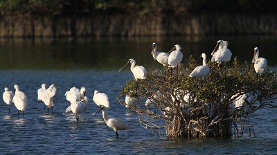
Observations (From iNaturalist)
Trailhead / Trig
Mobile coverage
Observations (From iNaturalist)
Little Ant Lion Entrance Square→(0.7K, 20 minutes)→Little Weasel Welcome Square→(0.4K, 10 minutes)→Little Spider Interpretation Classroom→(0.8K, 25 minutes)→Lake Viewing Platform→(0.7K, 30 minutes)→Little Beetle Activity Square→(1.4K, 35 minutes)→Little Ant Lion Entrance Square
Reminders
Mountain Encyclopedia
Please click below to view information
Pet-carrying regulations
When traveling with pets, please tie them up properly or place them in cages, bags, or carts to prevent them from chasing or scaring wild animals. Please clean up their excrement and do not come into contact with wild animals.
Travel Guide

Travel Guide
Nearby Attractions
Zhenwen Academy
In Xiluo, it is called Wenci Temple for short. It was built in the second year of Jiaqing in the Qing Dynasty and has a history of more than 200 years. It mainly worships Emperor Wenchang, Emperor Fuyoushi, Emperor Guansheng, Emperor Zhuyi, Emperor Luyi and other emperors. It has a Zhenwen Society and a plaque with the words "The Ancestor of Calligraphy for Thousands of Years". It was listed as a third-level historic site in 1985 and is the only remaining academy in Yunlin County.
More
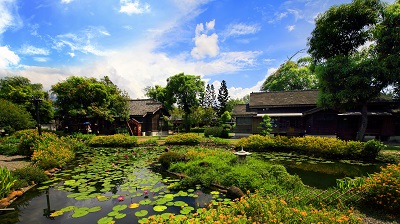
Guangxing Education Farm
Located in Guangxing Village, Xiluo Town, the park creates an early rural environment, including a firefly and insect ecological park, a butterfly house, a natural ecology observation area, and an aquatic plant observation area. It also has a local agricultural cultural center, which is a "three-in-one" cultural life park that integrates production, ecology, and life, allowing the public to experience farming life and learn about agricultural life and culture.
Sanjiaolun Beach
It was opened during the Japanese colonial era. Near the inland is a thick shade of windbreak forest, warm in winter and cool in summer; on the edge is a large oyster farm. The park has a parent-child water play area, a green lawn area, and many marine recreational facilities, providing people with a place to vacation, cool off, and play in the water.
More
Travel Advice
Arrange a one-day itinerary with nearby attractions in Xiluo
Nearby Attractions